

Quick answer
How far is Hurghada from Cairo by car? The distance is approximately 470 kilometers (292 miles) via the Eastern Desert Highway, the primary route connecting the two cities. Drive time typically ranges from 5 to 6 hours under normal conditions, accounting for fuel stops and desert highway speed limits. The route is a straight shot across the Eastern Desert with minimal diversions once you leave Greater Cairo.
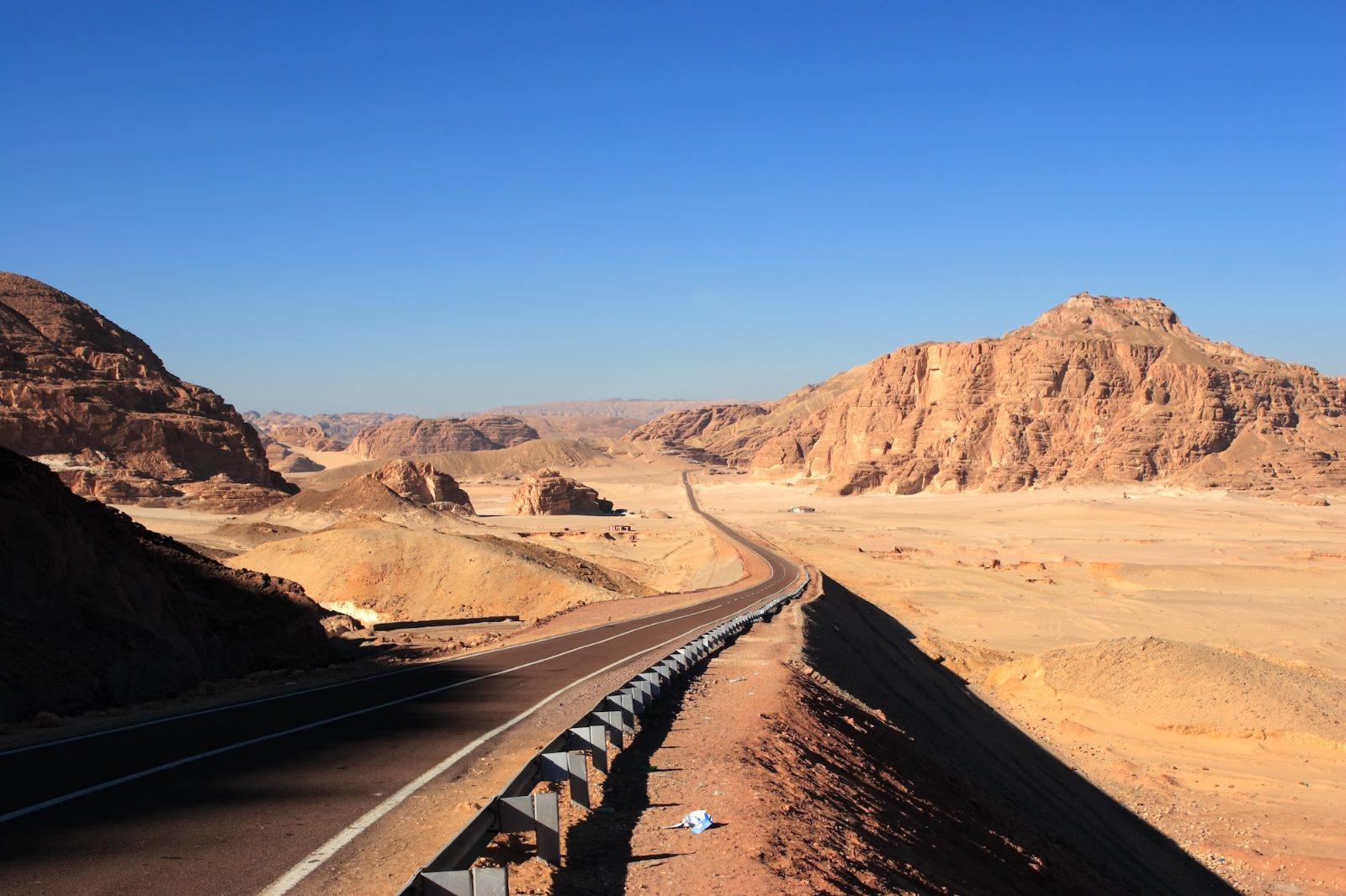
The Eastern Desert Highway stretches 470 kilometers between Cairo and Hurghada, making it the most efficient overland connection to the Red Sea coast. This two-lane highway was completed in the early 2000s to replace the longer Nile Valley route, cutting travel time by more than two hours. The road runs almost perfectly east from the outskirts of Cairo, crossing flat desert terrain with no villages or rest stops for long stretches. Drive time depends heavily on departure hour and traffic through Cairo's eastern suburbs. Leaving between 6:00 and 10:00 allows drivers to clear the city before midday heat peaks and ensures arrival in Hurghada before dark. Most drivers complete the journey in five to six hours, including one or two brief stops at the handful of fuel stations along the way. The highway itself is well-maintained asphalt with clear lane markings, but sections lack lighting and emergency services are sparse. The Cairo to Hurghada drive is a standard self-drive option for visitors with rental cars or private vehicles. The route offers no scenic detours — it is a transit corridor designed for speed and efficiency. Road conditions favor sedans and standard vehicles; four-wheel drive is unnecessary. The highway passes through checkpoints at both ends where police may request identification and vehicle registration. Understanding how far is Hurghada from Cairo by car means accounting for more than the odometer reading. Fuel availability is limited to three main stations between the cities, so tanking up before leaving Cairo is standard practice. Mobile signal coverage is intermittent across the desert stretch. The route's simplicity is both an advantage and a demand for preparation — there are no fallback towns or services if something goes wrong mid-journey.
“The Eastern Desert Highway cut travel time to the Red Sea by more than two hours when it opened, replacing the longer Nile Valley route.”
Understanding How Far Is Hurghada From Cairo By Car
The journey between Cairo and Hurghada covers approximately 450 to 500 kilometers, typically requiring 6 to 7 hours of driving time. The primary route for this trip is via the Eastern Desert Highway, which provides the most direct connection between the Red Sea coast and the capital.
Eastern Desert Highway (Route 65)
Go Bus or Blue Bus from Cairo to Hurghada Station
Private transfer via Eastern Desert Highway
The Best Arrival Window When Planning How Far Is Hurghada From Cairo By Car
The best arrival window for travel between Hurghada and Cairo is 06:00–10:00. This timeframe is essential to avoid peak daytime heat and ensures your journey occurs entirely during daylight hours for improved safety.
Spring and Autumn
Moderate trafficMild temperatures (20°C–28°C)
These months offer the most stable driving conditions for the Eastern Desert Highway. Moderate temperatures reduce engine strain and improve driver alertness.
Summer months
Light trafficHigh heat (35°C–40°C)
High temperatures make daylight driving within the designated window mandatory to prevent vehicle overheating. Early morning departures are required to complete the trip before peak afternoon intensity.
Winter months
Moderate trafficCool temperatures (15°C–22°C)
Cooler air provides comfortable driving, though morning fog can occasionally impact visibility. Staying within the 06:00–10:00 arrival window ensures sufficient light for safe navigation.
Verdict: Plan your departure to facilitate travel between 06:00 and 10:00 during the milder months of October or April for optimal safety and comfort.
Preparation Checklist for How Far Is Hurghada From Cairo By Car
Before driving the Eastern Desert Highway between Cairo and Hurghada, prepare your vehicle and ensure you carry essential supplies for the desert route.
-
Check tire pressure and spare tire — Desert heat and long stretches without service stations require full readiness.
-
Carry at least 5 liters of water per person — Checkpoint stops and potential delays mean hydration is critical for safety.
-
Bring your passport or national ID — Police checkpoints along the highway require identification for all passengers.
-
Fill fuel tank completely before departure — Fuel stations are sparse on remote highway sections between cities.
-
Pack a charged mobile phone and car charger — Emergency communication is essential in areas with limited roadside assistance.
-
Verify vehicle insurance and registration documents — Authorities may request documentation at security checkpoints during the journey.
-
Load offline GPS maps for the route — Mobile signal can be unreliable through uninhabited desert stretches.
Fees and Costs: How Far Is Hurghada From Cairo By Car
The journey between Hurghada and Cairo via the Eastern Desert Highway does not require any admission or passage fees. Transit along this route is open to the public without ticket requirements.
A typical adult pays 0 EGP for road access, as no highway entrance fees exist for this route.
Mistakes to Avoid When Considering How Far Is Hurghada From Cairo By Car
The 450 km desert highway between Hurghada and Cairo demands preparation that many drivers underestimate. Errors in timing, fuel planning, and checkpoint protocols turn a manageable drive into a stranded situation.
Driving at night to avoid heat
Travel only during daylight hours (06:00–18:00). Night driving on the Eastern Desert Highway sharply increases collision risk with unlighted vehicles and reduces visibility at police checkpoints.
Skipping fuel stops in resort areas
Fill your tank in Hurghada before departing and again at the halfway checkpoint near Zafarana. Desert stretches between stations exceed 100 km.
Ignoring police checkpoint procedures
Slow to a complete stop at every checkpoint, have your passport ready, and follow officer instructions. Rushing through or bypassing checkpoints triggers pursuit.
Underestimating rest requirements for solo drivers
Plan a 20-minute rest stop at Zafarana (midpoint). Fatigue-related incidents peak after three hours of monotonous highway driving in heat.
Relying solely on mobile GPS without a paper map
Download offline maps before departure and carry a printed route. Mobile signal drops completely in several 40+ km stretches of the Eastern Desert.
Traveling without emergency supplies
Pack 5 liters of drinking water per person, a charged power bank, and a basic tool kit. Roadside assistance response times in the desert exceed two hours.
Check availability
Frequently Asked Questions About Cairo to Hurghada Travel
Everything you need to know about how far is hurghada from cairo by car